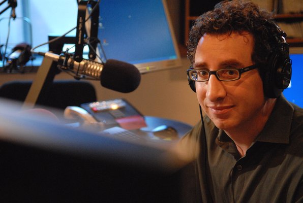
At Silicon Sentier, a startup collective in Paris, I interviewed Maurice Benayoun, Artistic Director of CiTu a research lab for artistic projects. One such project, Terra Numerica, is an easily digestible and programmable scan and index of the city of Paris for which others can use the data to develop applications. City planning and management examples include:
- Walk through Paris virtually like you would in the real world.
- Paris had a flood in 1910 and it’s feared that it’s going to happen again within the next ten years. Simulate the flood and see what the effects of such a disaster would have on the city.
- Virtually raise and lower buildings. See what views would be like.
- Since the database knows where all the cameras are all over the city, you can play a game where you run through the city avoiding security cameras. I asked Benayoun, “Couldn’t this tool be used by criminals?” Watch the video for his response.
I was very interested in Benayoun’s presentation because the city of San Francisco has been doing things similarly with DataSF, which is a series of open city information databases that developers can utilize to create useful applications. Examples include San Francisco Crimespotting and EveryBlock for monitoring city services block by block.
Terra Numerica is a more unified project of one giant powerful database with easily identifiable and programmable information. The database was created through three scan levels: video drive throughs (Microsoft Bing maps), laser scans, and flyover scans. Through all this scanning they can draw a 3D map of the city but more importantly they can also identifying objects (e.g. doors and security cameras) that become part of a very usable database. Check out this very cool video demo.
Benayoun said the goal is to create commercial ventures from all of CiTu’s projects, including Terra Numerica. Their next in line project is Terra Dynamica where they plan to identify and track everything that moves within a city (e.g buses, cars, and people).


